
Detailed Service Overview
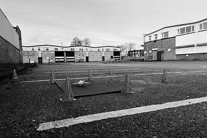
Our aerial mapping and documentation services provide accurate, up-to-date visuals of land, buildings, and infrastructure. We create detailed orthomosaic maps, 3D models, and asset records using advanced drone photogrammetry. This service is perfect for estate planning, facility management, and ongoing compliance—giving you a clear view of your site from the sky.
Key Benefits
Accurate digital maps and 3D models – for planning and record-keeping
Covers large areas quickly – ideal for commercial estates or development sites
Supports compliance and insurance – visual evidence on file
Up-to-date records – useful for asset tracking and project progress
Minimal disruption on-site – no need for ground crews
Compatible with CAD and GIS systems – for seamless integration
Ready to Upgrade Your Inspections?
Maximise safety, speed, and savings with SkyScan’s professional drone surveys.